

| Total iconic coastal stretch | ~400 miles (SF to LA) (Caltrans Highway 1) |
| Realistic driving days | 3-5 days for unhurried exploration (Common traveler consensus) |
| Most dramatic segment | Big Sur (Carmel to San Simeon) |
| Closure risk | High after heavy rain, especially Big Sur (Caltrans incident history) |
| Best travel season | Late spring and early fall for weather + crowds |
| Gas up before | Carmel (heading south) and Morro Bay (Limited services in Big Sur) |
The Big Picture: What PCH Actually Covers
"Driving PCH" means different things to different people. California's Highway 1 runs roughly 650 miles total, but the truly iconic coastal stretch most travelers mean runs from San Francisco south to Los Angeles - or vice versa - covering around 400 miles of it. Done nonstop, that's a 9-10 hour drive. Nobody does it nonstop, and nobody should.
| Total iconic coastal stretch | ~400 miles (SF to LA) (Caltrans Highway 1) |
| Realistic driving days | 3-5 days for unhurried exploration (Common traveler consensus) |
| Most dramatic segment | Big Sur (Carmel to San Simeon) |
| Closure risk | High after heavy rain, especially Big Sur (Caltrans incident history) |
| Best travel season | Late spring and early fall for weather + crowds |
| Gas up before | Carmel (heading south) and Morro Bay (Limited services in Big Sur) |
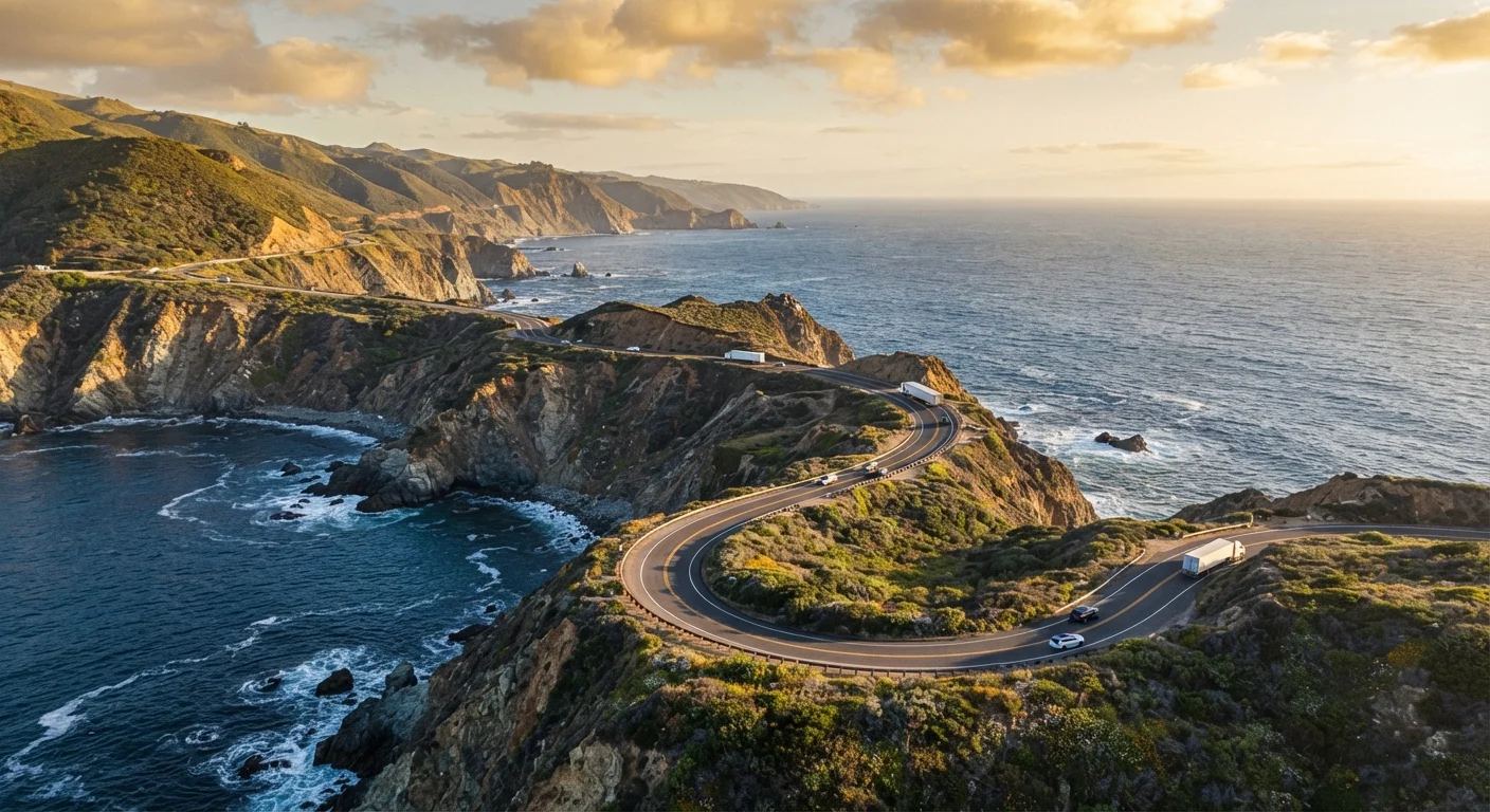
The highway's character shifts dramatically by segment. Northern Marin County delivers forested, moody drama. The stretch between San Francisco and Monterey blends beach towns with artichoke farms. Big Sur - roughly miles 60-100 south of Carmel - is the showstopper everyone pictures. South of Morro Bay, the coast flattens and the highway merges inland before re-emerging near Ventura and Malibu.
Honest context: stretches through Santa Barbara and the Santa Monica Mountains are gorgeous but feel more suburban than wild. If raw scenery is your goal, Big Sur deserves the bulk of your time.
Segment by Segment: What to Expect
San Francisco to Carmel (~120 miles, 3-4 hours)
Start at the Golden Gate Bridge for the photo, then follow Highway 1 south through Pacifica and Half Moon Bay. Half Moon Bay is a pleasant stop - good coffee, a walkable main street, beaches that are chilly but photogenic. Santa Cruz merits a couple of hours for the boardwalk and the surf culture; the wharf is touristy but fun. Monterey's Cannery Row is heavily commercialized - go for the Monterey Bay Aquarium if marine life interests you, otherwise move on.
Carmel to San Simeon - Big Sur (~90 miles, 3-5 hours)
This is the segment worth building your whole trip around. Pull-outs come every few miles; budget far more time than the mileage suggests. Key stops include Bixby Creek Bridge (iconic arch, short hike above it for the best angle), McWay Falls at Julia Pfeiffer Burns State Park (an 80-foot waterfall that drops directly onto a cove beach - views from the trail only), and Pfeiffer Beach (purple-sand coves, often windy). If you want a true "stretch your legs" moment, the path to the Ewoldsen Trail overlook is rewarding without being technical.
Note: Big Sur is genuinely remote. Gas up in Carmel before heading south, and check Caltrans road conditions - this stretch closes after landslides and heavy rain more often than most drivers expect.
San Simeon to Santa Barbara (~150 miles, 2.5-3 hours)
Hearst Castle sits above San Simeon and is worth a guided tour reservation if history and architecture interest you. Cambria is an underrated overnight stop - walkable, lower-key than Carmel. South of Morro Bay (worth a quick lunch stop for the views of Morro Rock), the highway increasingly trades coastline for inland farmland through San Luis Obispo County. That's not a complaint - the inland valleys are pretty - just set expectations accordingly.
Santa Barbara to Malibu/LA (~110 miles, 2-3 hours without traffic)
Santa Barbara is one of the drive's most livable-feeling stops: Spanish Colonial architecture, good food, and actual walkability. The coast from Ventura into Malibu serves up dramatic views as the Santa Monica Mountains drop toward the sea. Traffic through Malibu and into greater LA can add significant time, particularly on Friday afternoons.
Seasonal Realities and Road Closures
Always Check Road Status Before You Go
Big Sur's Highway 1 closes more frequently than travelers expect - not just in winter, but after any significant Pacific storm. Check Caltrans QuickMap (quickmap.dot.ca.gov) or call 511 for current conditions before leaving your overnight stop. Closures can sometimes be routed around via inland Highway 101, though you'll miss the coastal scenery.
Summer brings the crowds, fog (especially mornings in Northern California), and the most reliable open roads. Late spring and early fall offer a solid balance of decent weather and thinner traffic. Winter closures on the Big Sur segment are not unusual - mudslides in 2017 closed the highway for over a year, and shorter closures happen periodically after major rain events. Always check Caltrans QuickMap or 511.org before setting out.
Traveling southbound (SF to LA) generally means sun in front of you in the morning and behind you in the afternoon - many photographers prefer the northbound direction for golden-hour cliff shots.
Before any long haul like this, do yourself a favor and run through a pre-road-trip vehicle check - tires, brakes, and fluids matter on a winding coastal road with limited services.
What to Skip and What's Underrated
Skip or speed through: The Cannery Row tourist corridor in Monterey (unless visiting the Aquarium), the Pismo Beach pier area if you're short on time, and the stretch of Highway 1 through Oxnard - it's fine but doesn't add much coastally.
Underrated stops: Limekiln State Park in Big Sur (a short walk to old lime kilns and a waterfall); the town of Cambria; Point Lobos State Natural Reserve just south of Carmel (some argue it's the most beautiful meeting of land and sea in California - and the entry fee is modest).
If you enjoy road-trip comparisons, the Florida Keys drive offers an interesting contrast - flatter, tropical, and ultimately more about island hopping than dramatic scenery.
Caltrans
California Department of Transportation, the state agency responsible for maintaining Highway 1 and posting road closure information. Their QuickMap tool shows real-time closures and conditions.
Big Sur
A rugged, loosely defined coastal region south of Carmel roughly 90 miles long, characterized by steep cliffs, dense redwood canyons, and limited development. It's the visual centerpiece of any PCH drive.
Pull-out
A designated roadside area where drivers can safely stop to view scenery, take photos, or let faster traffic pass. Big Sur has dozens; using them is both courteous and safer than stopping on the road itself.
Southbound vs. Northbound
The direction you drive PCH affects which side of the road faces the ocean (westward on southbound, closer to the shoulder on northbound) and how afternoon light hits the cliffs - a real consideration for photographers.